
Hiking & Directions
Things to Do Near Mount Chase, Maine
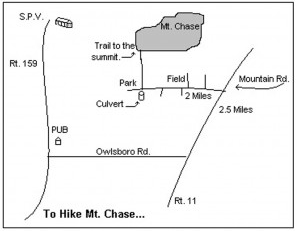
To Hike Mt. Chase
Follow Rt. 159 south for 3 miles to the Shin Pond Pub. Turn left onto the Owlsboro Road and drive 5 miles to Rt. 11. Turn left (north) on Rt. 11 and go 2 miles before turning left on to Mountain Road. The trail is at the end of the field on your right and just beyond a culert. The trailhead is marked with a small sign. Expect to take about 1.5 hours to reach the summit.
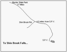
To Shin Brook Falls
Take Rt. 159 North towards Baxter State Park. Go 4.5 miles, take the dirt road to the left (Shin Brook Road). Park your car at the end (1/4 miles you are looking at Sugarloaf Mountain). Trailhead starts here. Stay left until you get to the stream, then follow footpath on your right that goes to the bottom of the falls. There are three sets of falls and the path to the bottom is very steep.
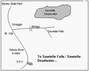
To Sawtelle Falls/Sawtelle Deadwater
Take Rt. 159 north towards Baxter State Park. Take the first dirt road after Sebois River (approximately 6.5 miles). Go 1 mile, cross over bridge, and take first right. Park here, this is the trailhead.
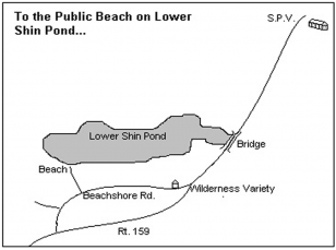
Public Beach on Lower Shin Pond
Go down the hill (Rt. 159) and across the bridge. Take the first right past the Wilderness Variety Store onto Beachshore Drive. Take the second left. The beach is 300 feet down this lane, but you may want to park at the turnoff.
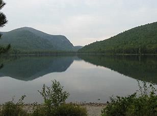
Baxter State Park
The North gate to Baxter is located just 15 miles from Shin Pond. There are over 40 peaks and ridges besides Katahdin in the Park. The trail system features over 215 miles of trails popular with hikers, mountain climbers and naturalists. Baxter State Park operates eight (8) roadside campgrounds and two (2) backcountry campgrounds. There are also numerous individual backcountry sites for backpackers. The park also consists of many spectacular rivers, streams, ponds, and lakes for canoeing, fishing, and swimming.
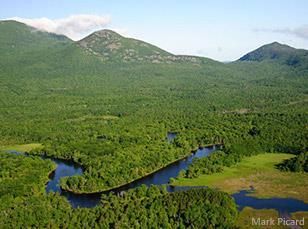
Katahdin Woods and Waters National Monument
The North entrance to Katahdin Woods and Waters National Monument located just 15 miles north of Shin Pond Village. The Monument, is a U.S. National Monument spanning 87,563 acres of mountains and forestland in northern Penobscot County, Maine, including a section of the East Branch Penobscot River.